Regarding the author, a “hijo del país” [Creole] born in Manila, It is a very rigorous work of excellent scientific quality. Its first part contains a general description of Panay and the adjacent islands, a study of its climatology, and another of its orography, dividing the island into a single mountain range, northern mountains, and eastern mountains. He also studies the hydrography of the isle, distinguishing between central, Antique, and eastern regions. It also deals with the marine currents and the configuration of the coasts. The second part contains a complete geological description, dedicating more pages to the island’s mineral wealth, with information about the rocks, earthquakes, and volcanoes, among many other topics. It is an extraordinary work with a spectacular map of Panay, much sought after by map collectors. It was drawn with the help of the prestigious cartographer Enrique D’Almonte, who represents the relief with shaded orography and delimited points. It is washed in various colors, according to the chromatic key that indicates the type of soil on the island. It suggests the orography hydrography and urban spaces of the island of Panay, as well as its roads, limits of its districts, and geological aspects, with the table of conventional signs occupying the document’s lower right corner.
Your Inquiry was successfully sent, please wait for the reply of Leon Gallery Management.
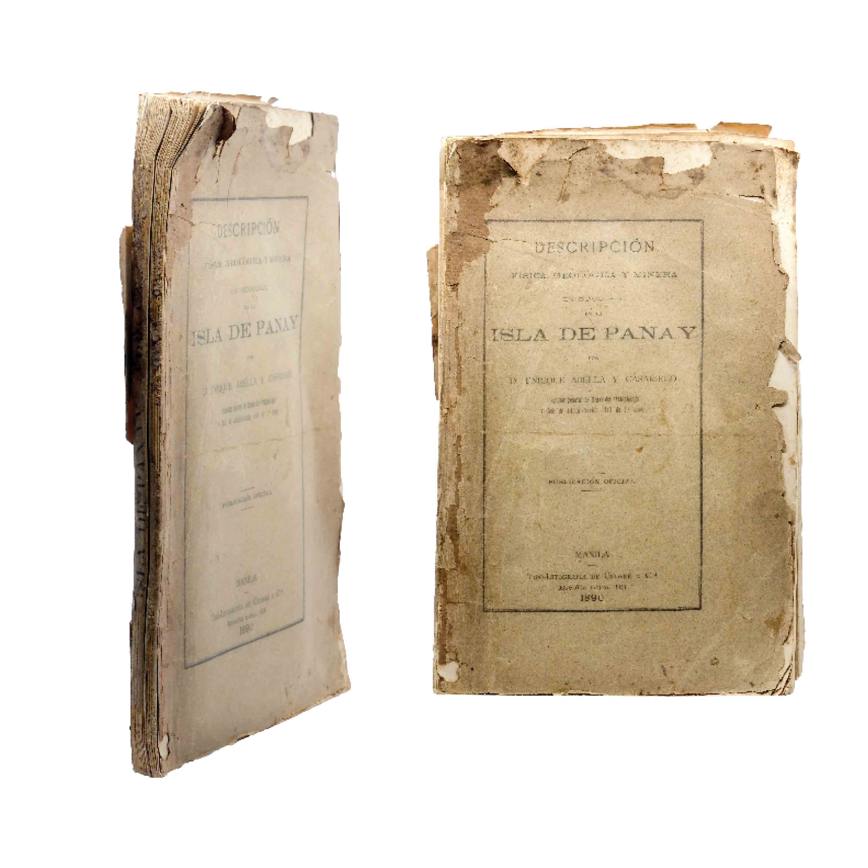
Enrique Abella y Casariego
Descripcion física, geológica y minera en bosquejo
de la Isla de Panay
[Sketch of a physical, geological, and mining
description of the Island of Panay]
Manila: Tipo-Litografía de Chofre y Compa., 1890.
size: 10 1/2” X 7”
depth: 3/4”
depth: 3/4”
SOLD: PHP 84,112
SOFTBOUND
VERY POOR
BINDING I S COMPLETELY DESTROYED AND COV ER I S TORN